Transportation Team
Every Intersection Is A Crosswalk Yard Signs
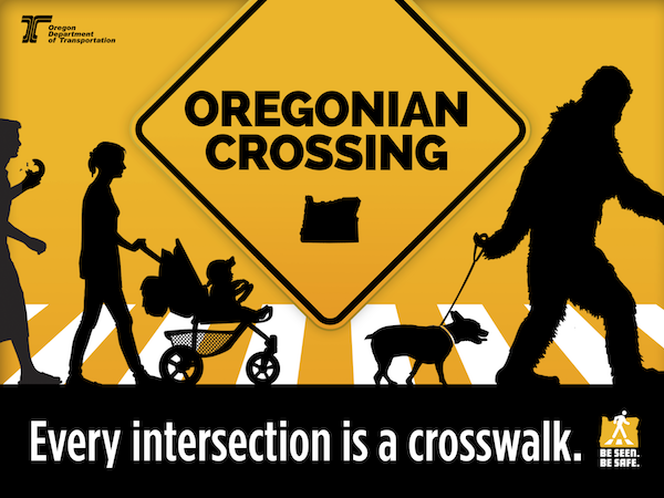
The FAN Transportation Team distributed a limited number of "Oregonian Crossing / Every Intersection is a Crosswalk" lawn signs from the City of Eugene. These attention grabbing lawn signs feature silhouettes of Sasquatch walking a dog, a woman pushing a baby in a stroller, and a bagel munching person. The Oregon Department of Transportation (ODOT) provides these signs as part of its "Oregonian Crossing" campaign. The campaign emphasizes Oregon law that every intersection, whether or not it is marked, is a legal crosswalk. Drivers must stop and yield for pedestrians trying to cross at any intersection or marked mid-block crosswalk. Drivers may be cited and fined at least $250 for failing to stop for a pedestrian. Read more about the "Oregonian Crossing" campaign and pedestrian safety in Oregon. Watch this public service announcement from the ODOT. Report a problem
The Eugene Police Department has an online form to report incidents, including speeding and reckless driving. Start a Report. City of Eugene staff appreciates being notified of problems with transportation, including vegetation encroaching on sidewalks and bike lanes, debris in the public rights of way, and signal and signage maintenance. You can submit a Request for Service online, or call Eugene Public Works Department at (541) 682-4800. The city has a nuisance vegetation program where property owners may be charged at least $175 for clearing vegetation from their property if they fail to properly maintain it. With the AARP Walk Audit Tool Kit (and Leader Guide), a resident, group, or community leader can survey and report on the safety and walkability of a street, intersection, or neighborhood. Transportation Data The Central Lane Metropolitan Planning Organization has online tools for searching and viewing transportation data. Data sets include: The Oregon Department of Transportation (ODOT) compiles crash data and releases provisional raw data sets without maps that include one year more recent than the Central Lane MPO. To reach the data, you must:
An interactive map was created on the MPO website and is embedded below. It maps motor vehicle crashes that have occurred within the Friendly Neighborhood between 2007 and 2016 where a police report was filed. It does not include near misses or unreported crashes and injuries. Note that the streets with the highest speeds and greatest motor vehicle traffic volumes tend to have greater numbers of crashes and more severe injuries and fatalities. 18th Avenue, Chambers Street, Willamette Avenue, and 28th and 29th Avenues have the most collisions. |
